Söğüt Multipurpose Hall
Osman Can Bagatır
Can Kalınsazlıoğlu
M.Harun Beyhan
Renders
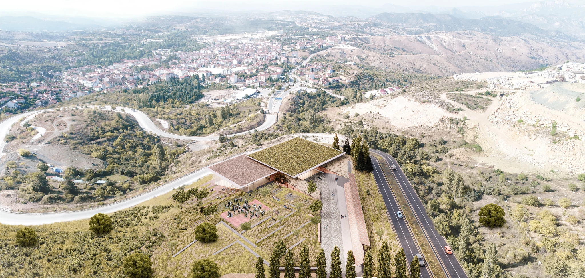
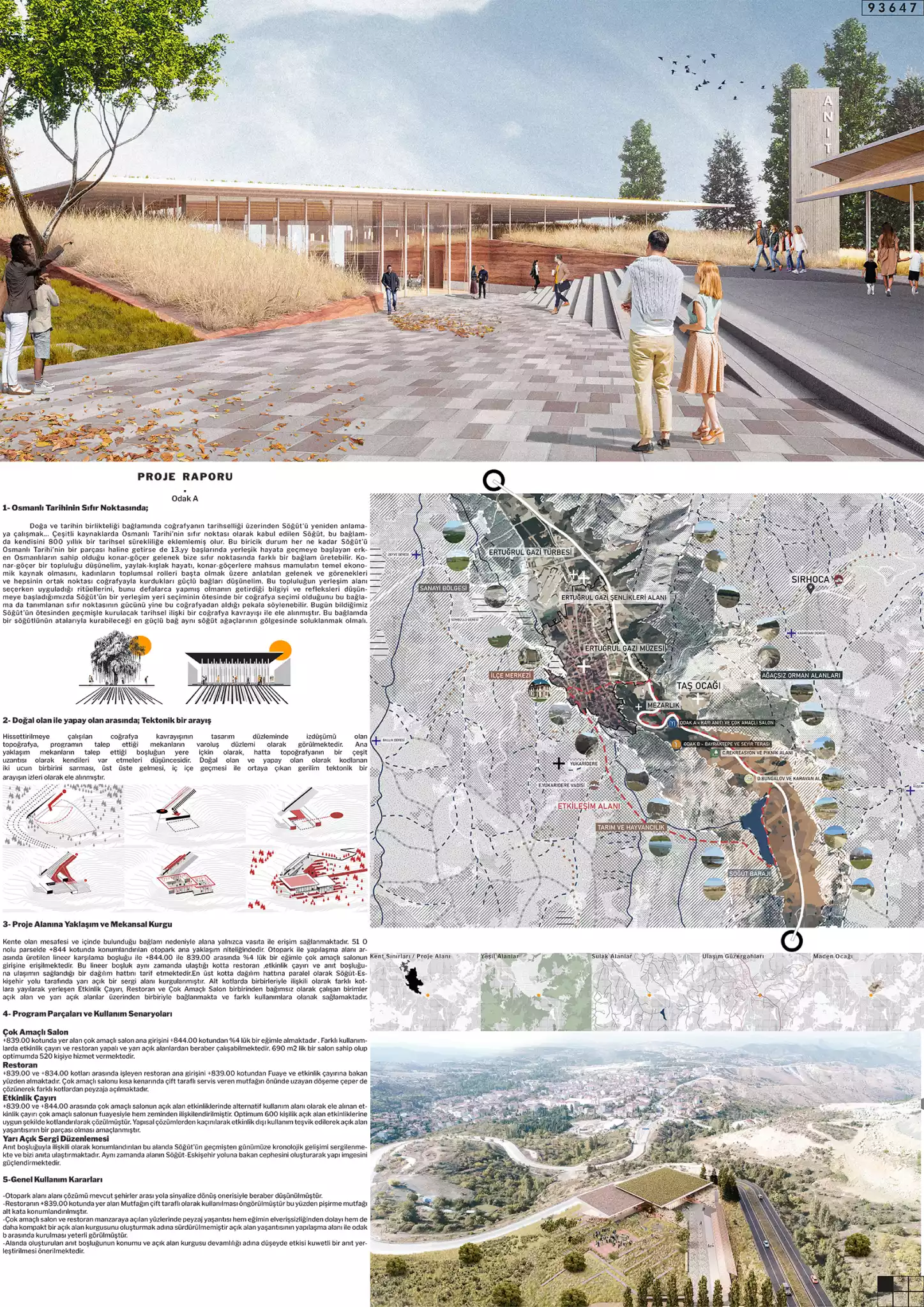
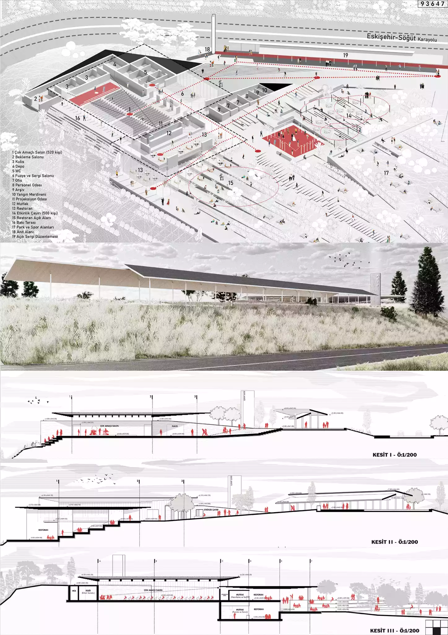
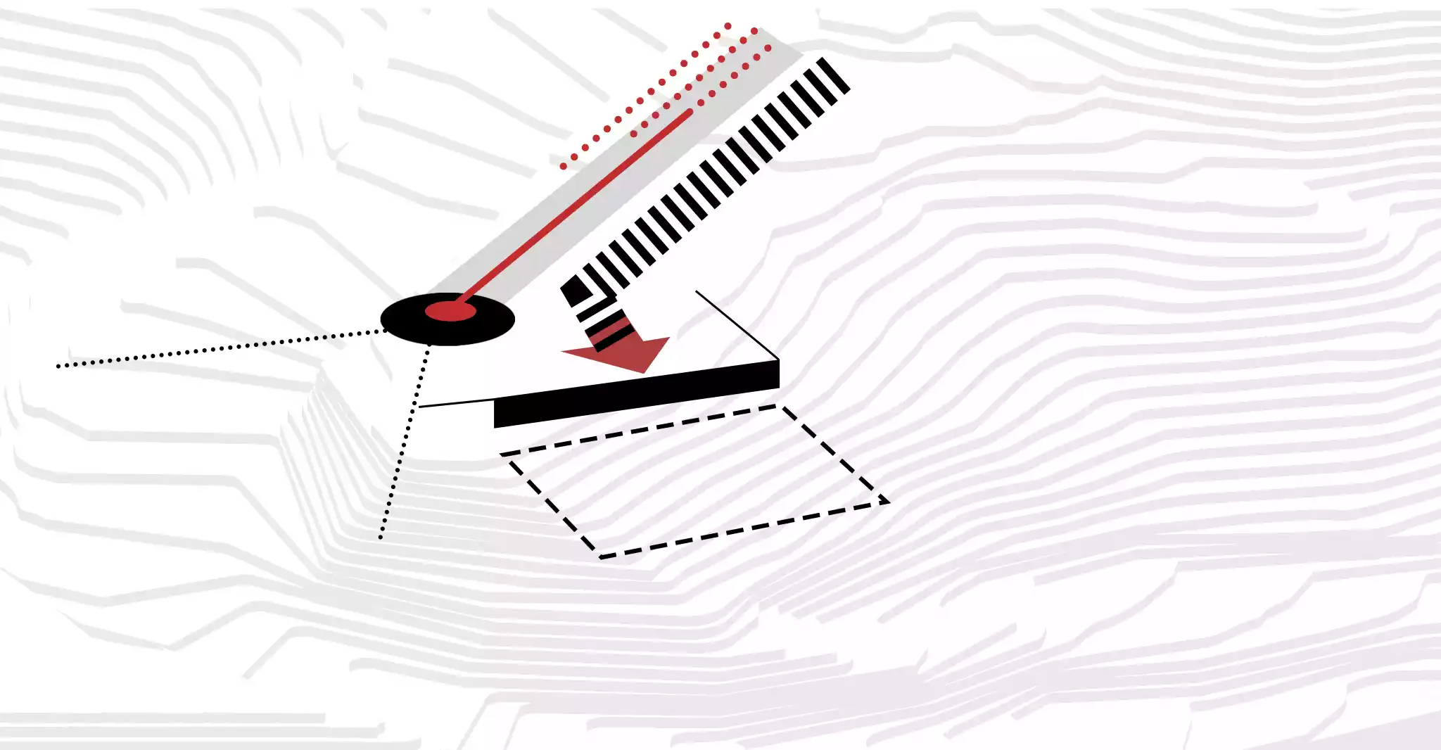
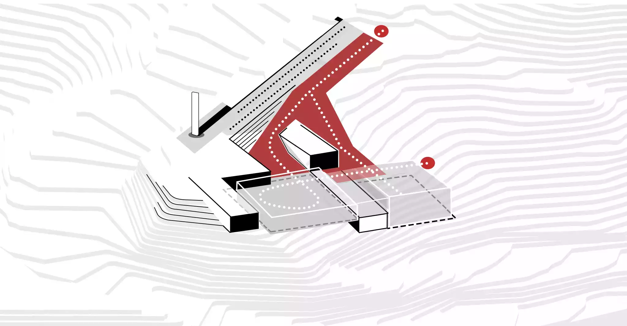
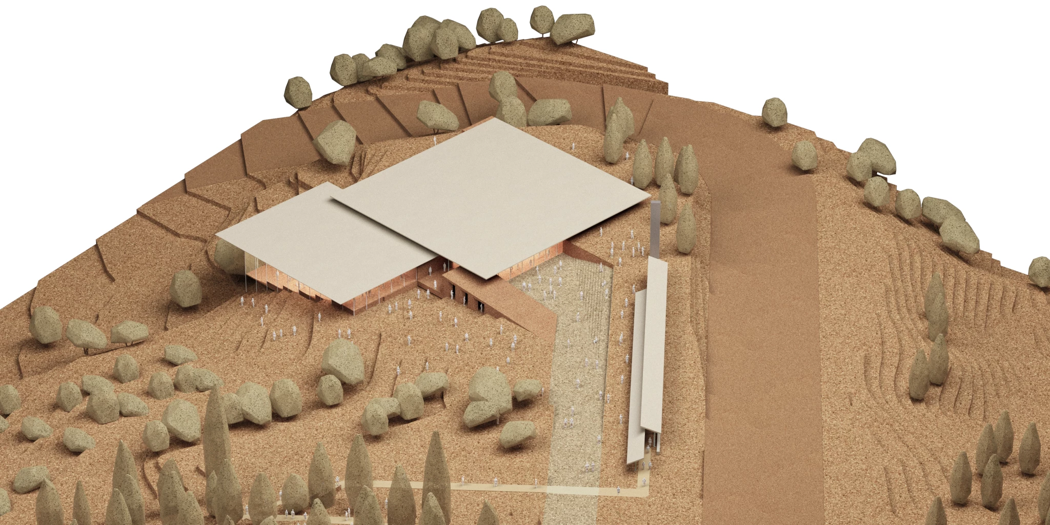
The topography, which is the projection of the geographical understanding that is sought to be conveyed on the design plane, is seen as the plane of existence of the spaces demanded by the program. The main approach is the idea that the void demanded by the spaces exists inherently in the ground, even as a kind of extension of the topography. The tension arising from the intertwining, overlapping, and merging of the two extremes, coded as natural and artificial, is treated as traces of a tectonic quest.
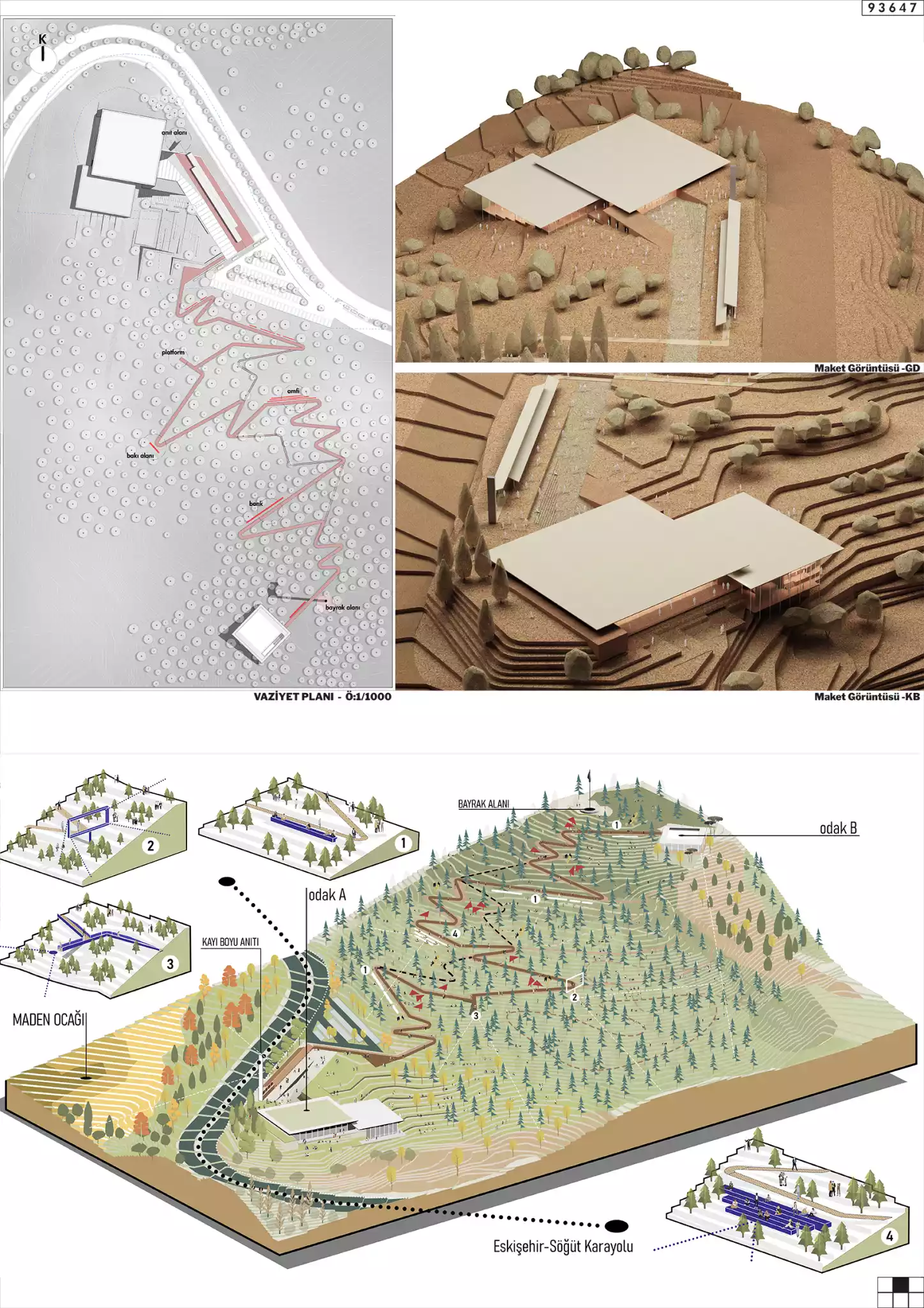
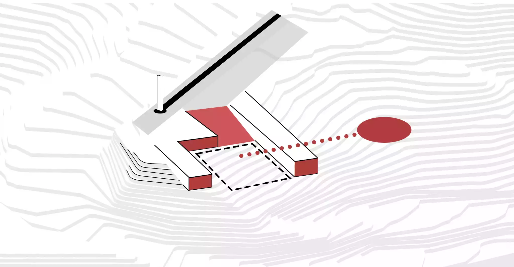
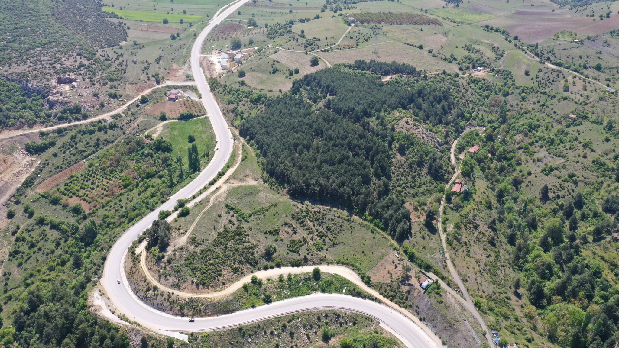
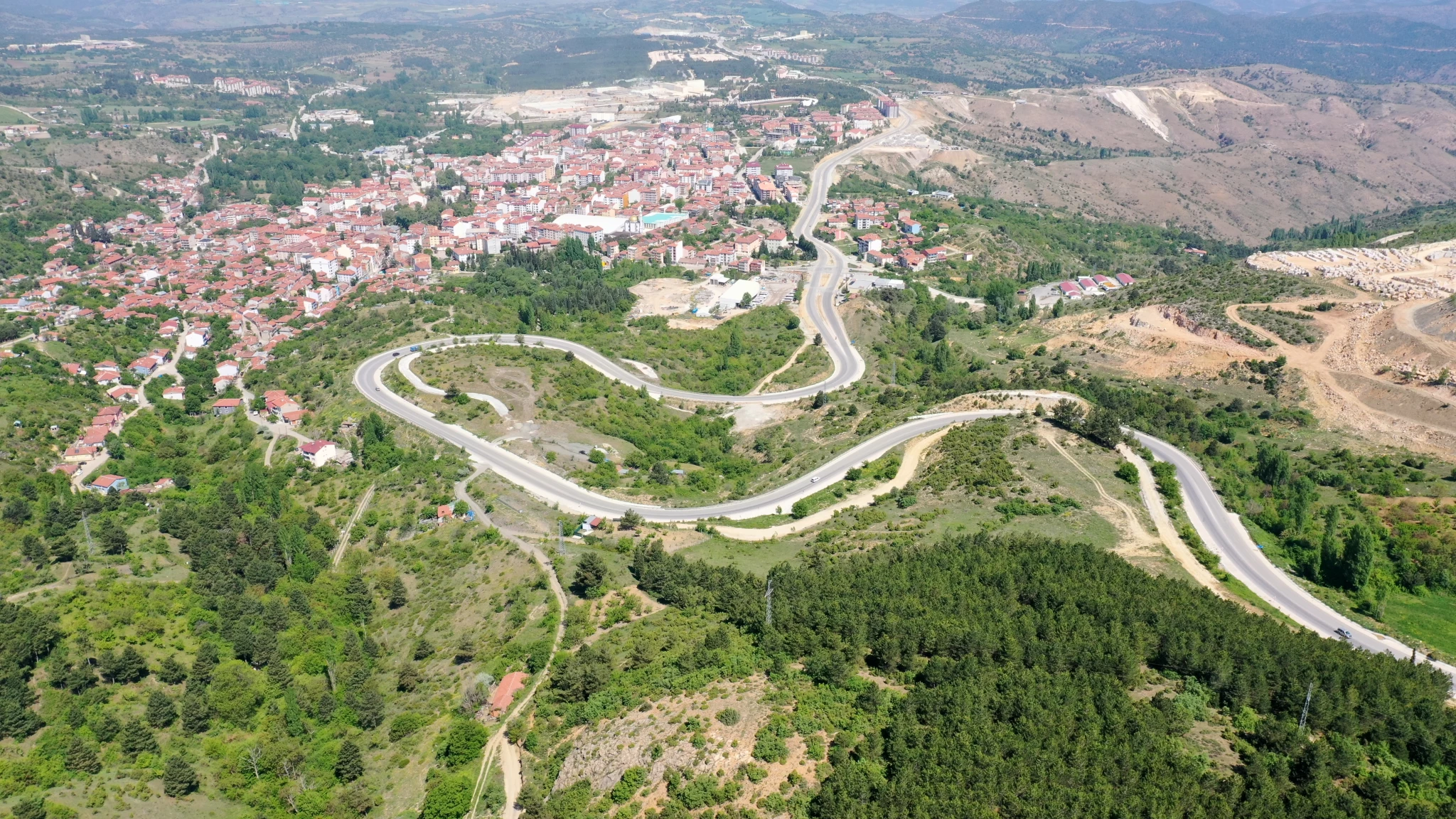
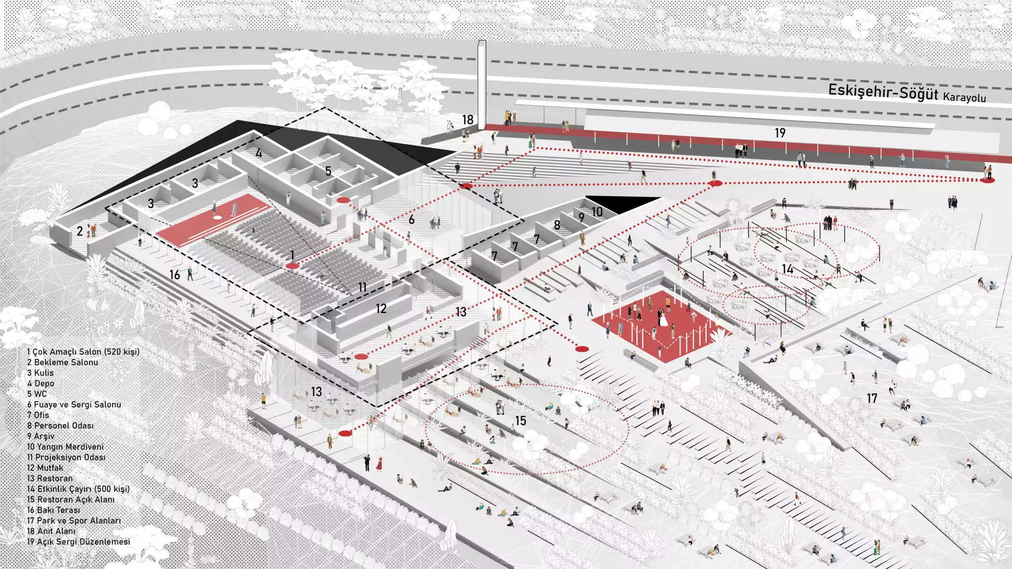
Approach to the Project Area and Spatial Arrangement
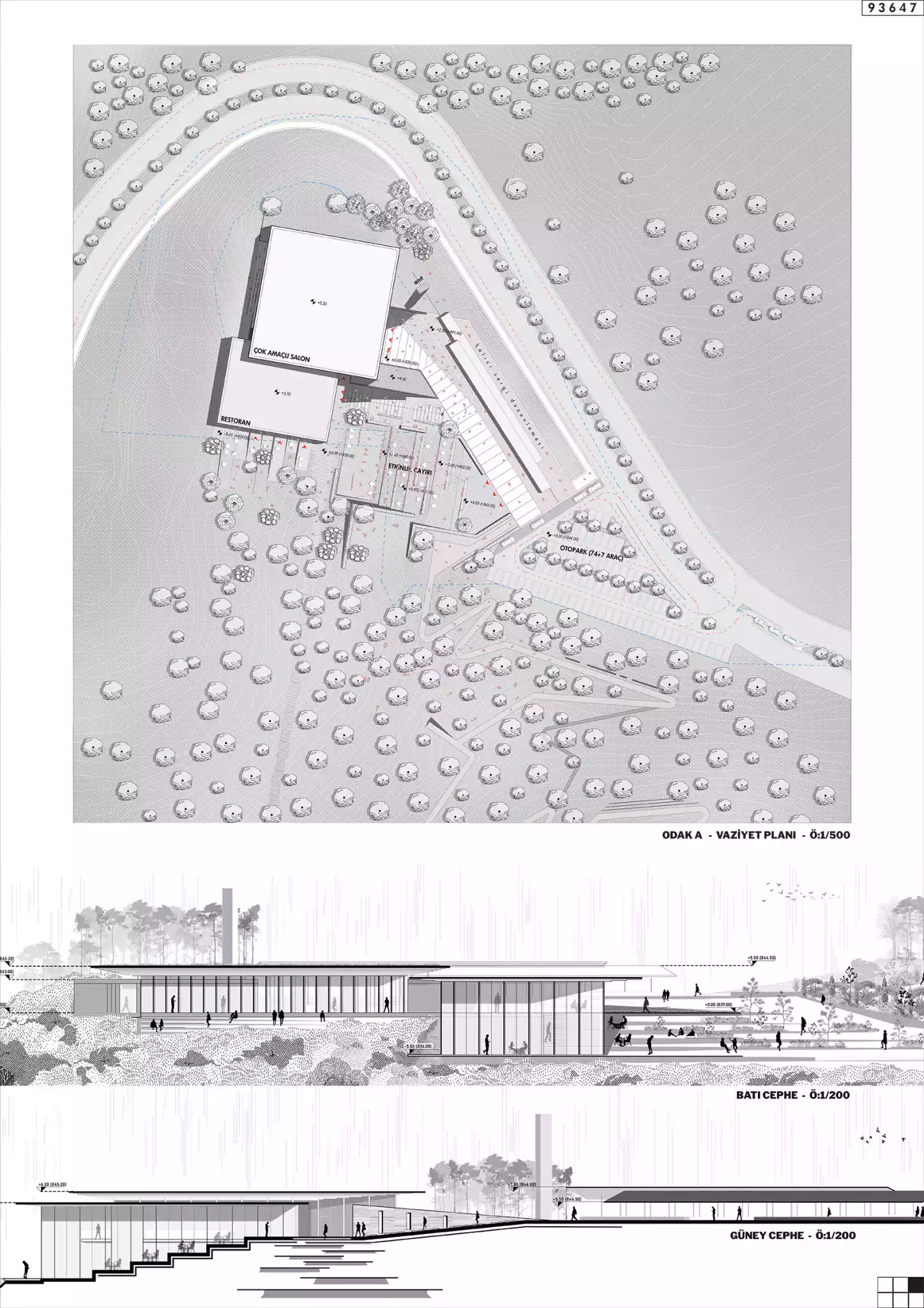
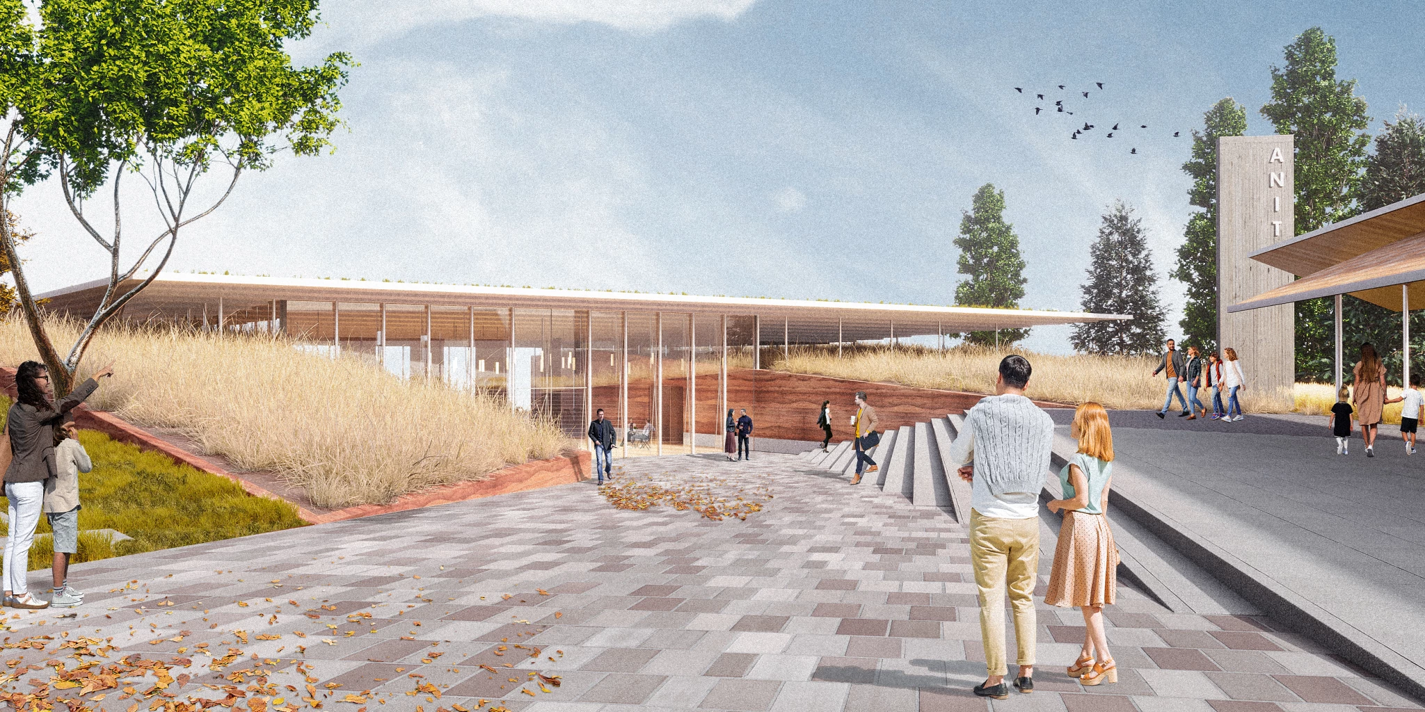
Due to its distance from the city and its context, the area is only accessible by vehicle. The parking lot, located at +844 elevation on parcel number 510, serves as the main approach. A linear reception space is created between the parking lot and the building area, providing access to the multi-purpose hall entrance with a 4% slope between +844.00 and +839.00.
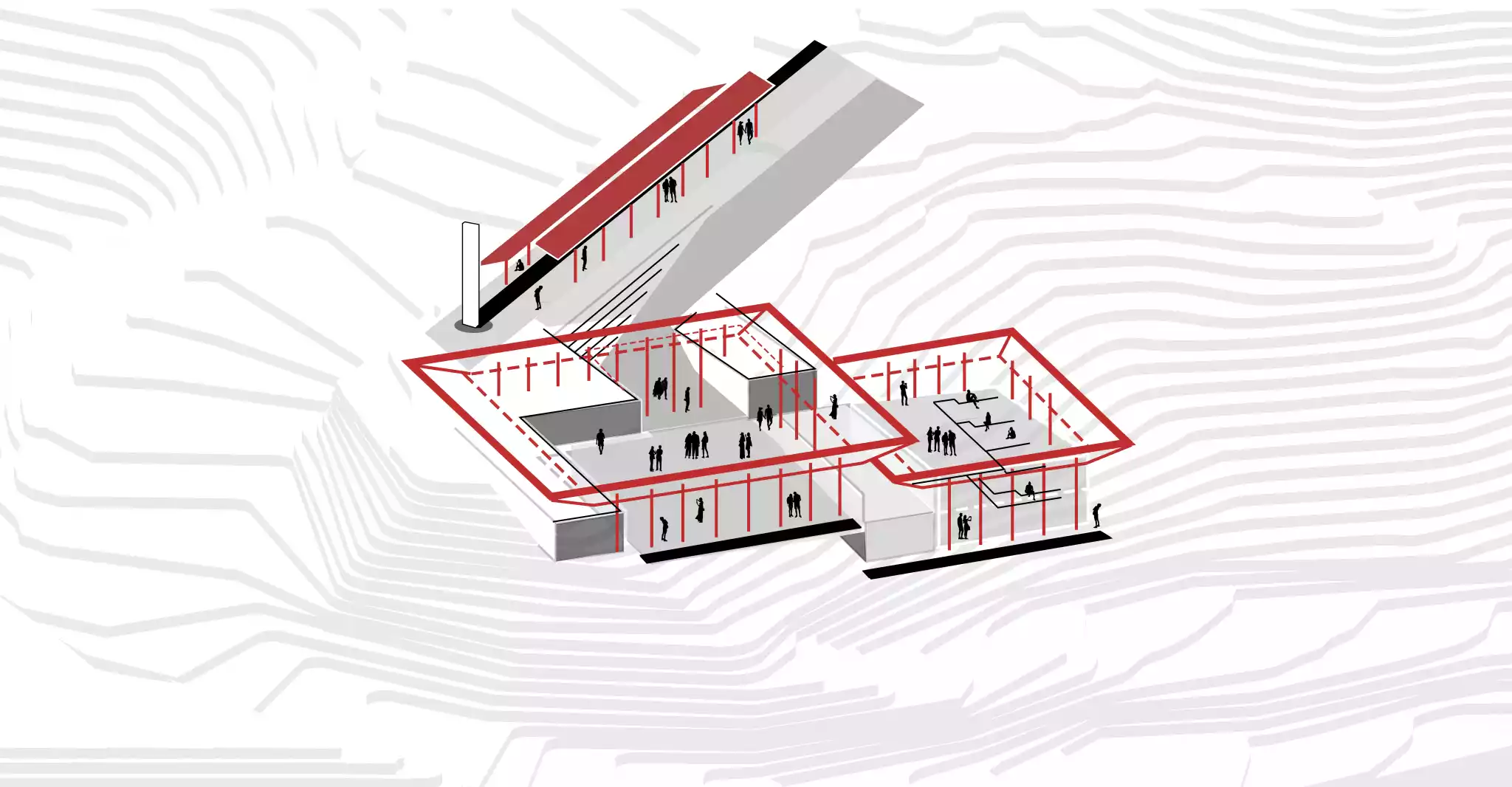
Semi-Open Exhibition Arrangement
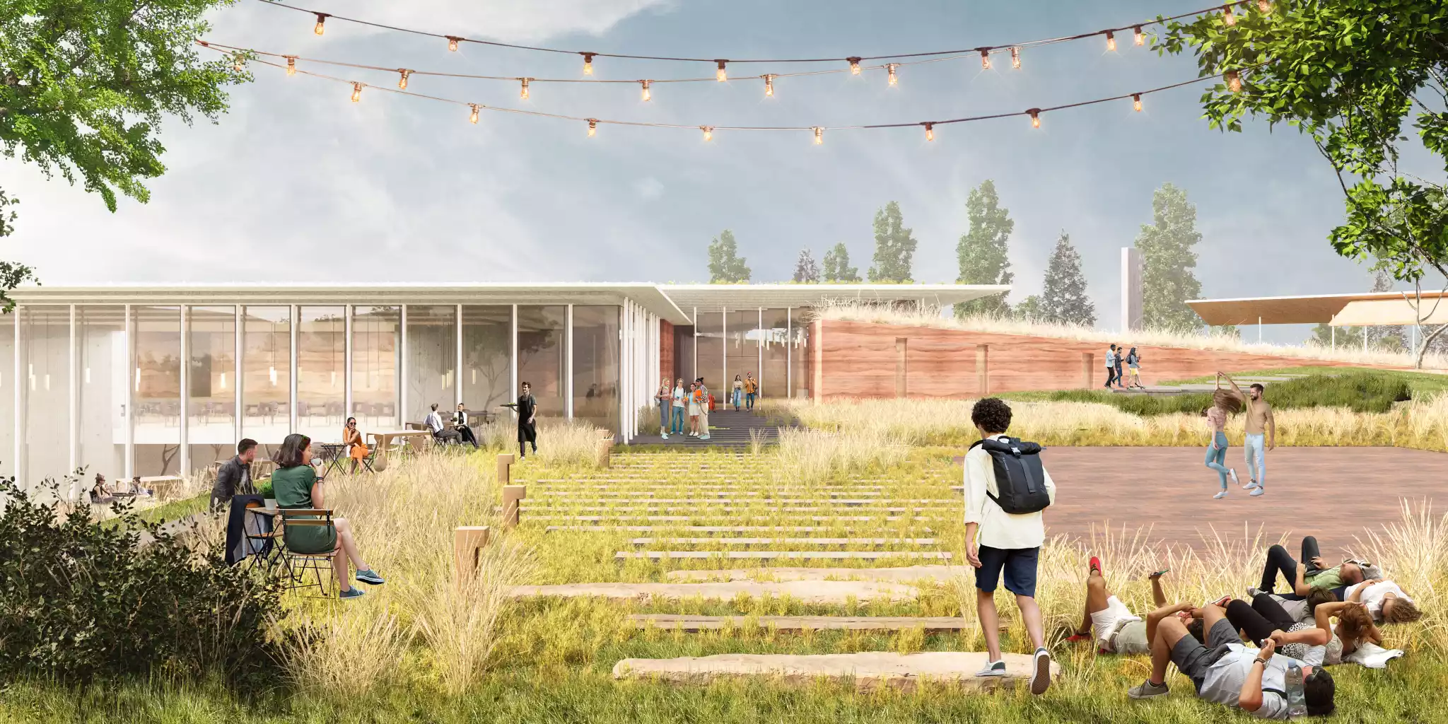
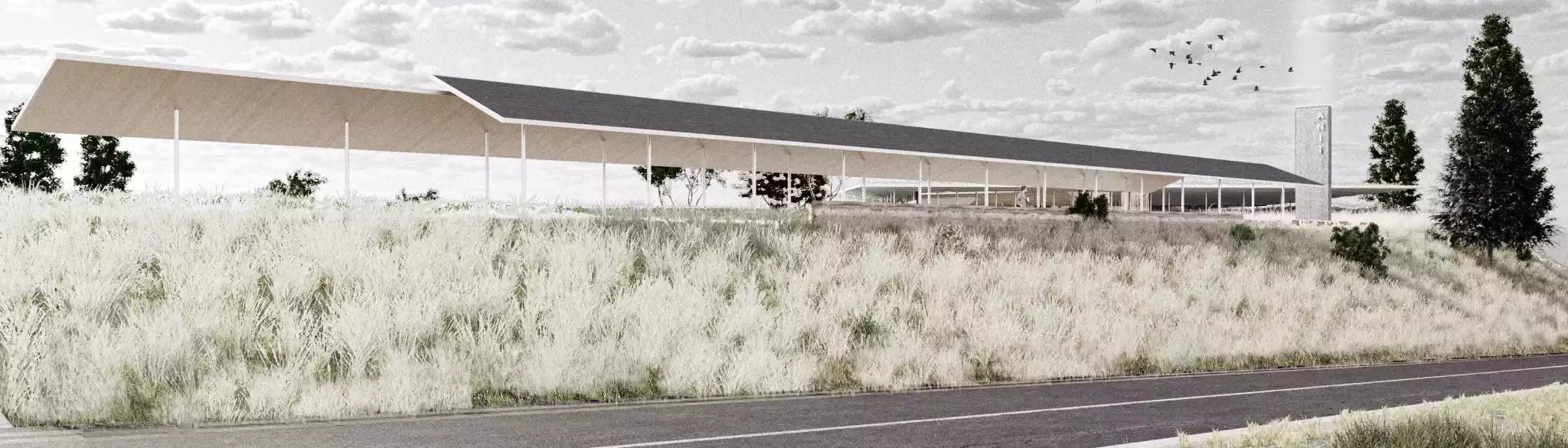
Positioned in relation to the monument's space, this area displays the chronological development of Söğüt from the past to the present, leading us to the monument. At the same time, it strengthens the building's image by forming the facade of the area facing the Söğüt-Eskişehir road.
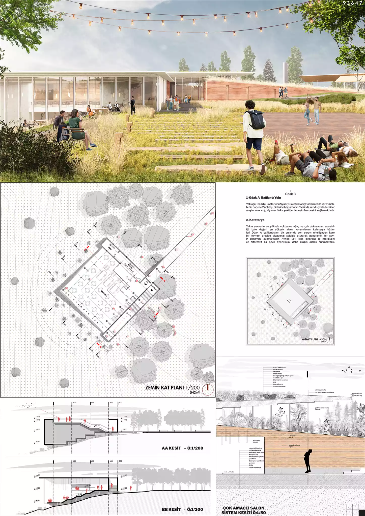
The Idea
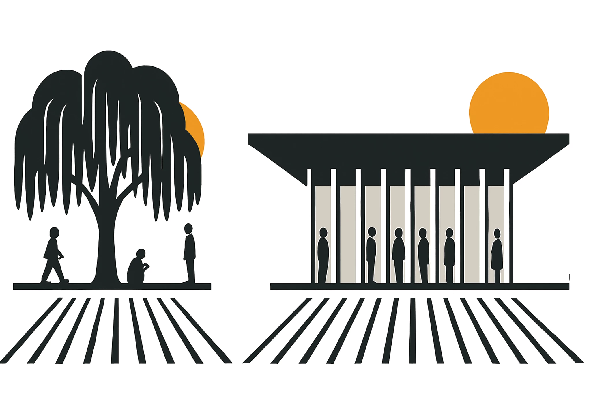
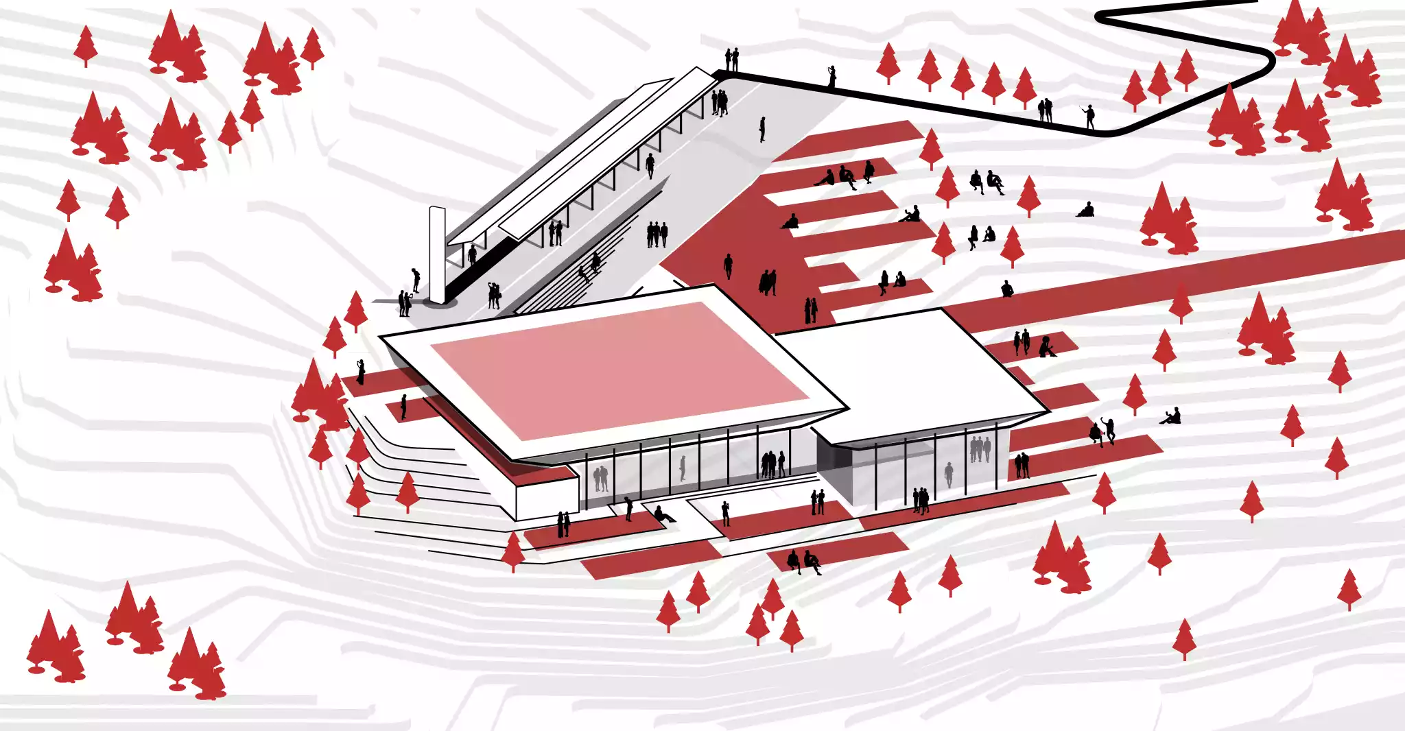
The Tree Myth; being under the same shade.
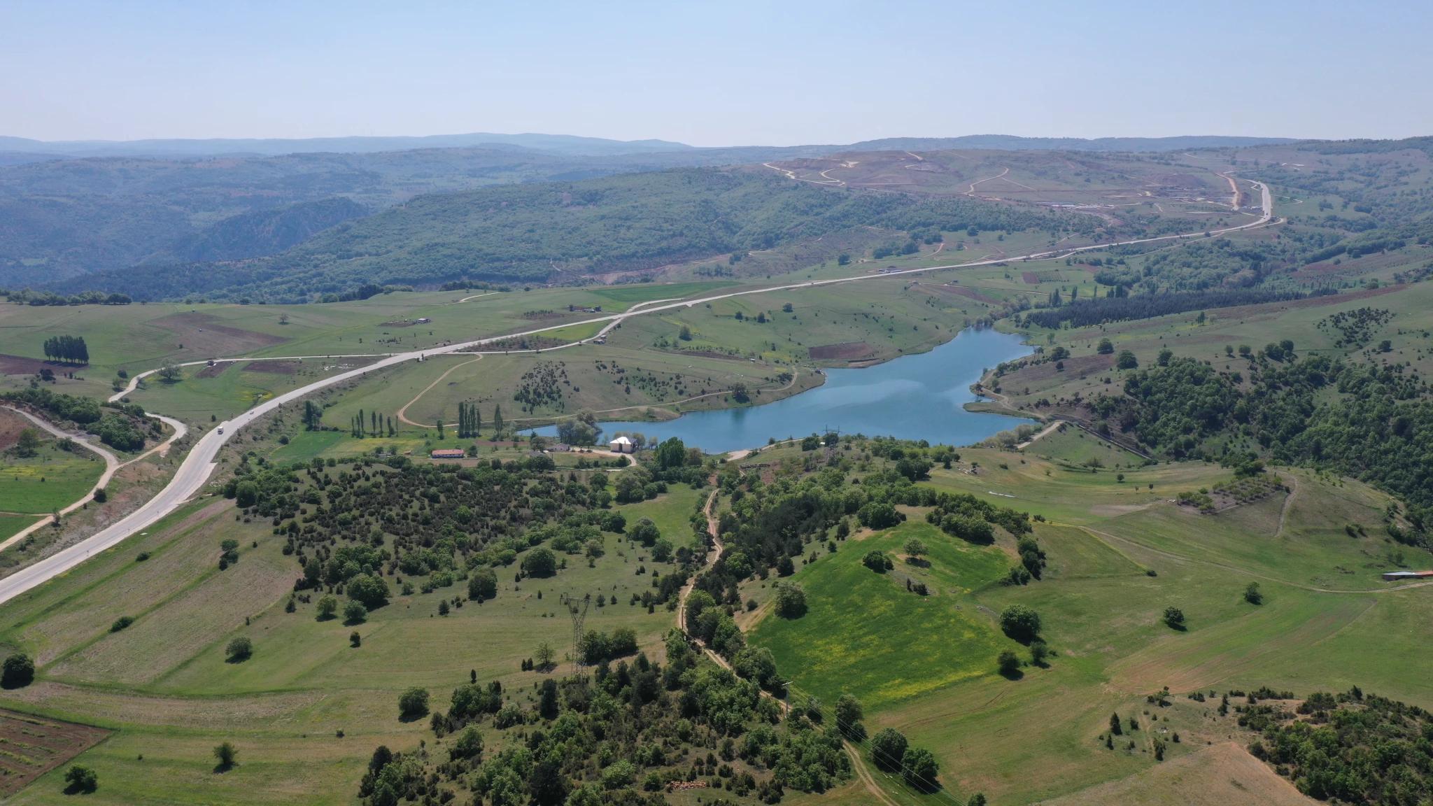
The Geography
Competition Panels